
Macallum Group

Western Australia
Narlarla Project

© Macallum Group Ltd 2023
Tel: +61 (0) 6159 9100 Applecross Western Australia 6153
Western Australia - Narlarla Project
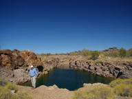
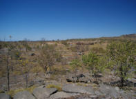
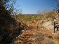
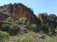
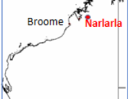
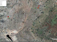
The Narlarla project, exploration licence E04/2438, is located in the Napier Range, immediately south of the Barker River, approximately
1,860 km north east of Perth in the West Kimberley region of Western Australia. The exploration licence covers 37 graticule blocks or
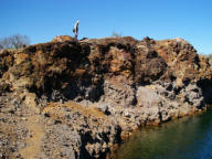
12,097.61 hectares (~121km2). The Napier Range consists of a narrow and elongate complex of Devonian reef carbonates that are
prospective for hosting Mississippi Valley Type lead, zinc and silver mineralisation. The carbonates are surrounded by zones of basin fill
sediments, and unconformably overlie Proterozoic metamorphic rocks. The area is also prospective for alluvial and lamproite hosted
diamonds, with the Ellendale diamond mine located about 30km southeast of Narlarla.
Summary
•
The Narlarla project is located in the Napier Range, a narrow and elongate complex of Devonian reef carbonates that are prospective for Mississippi Valley
Type (MVT) lead, zinc and silver mineralisation.
•
Exploration licence, E04/2438 (MGL 100%), was lodged and accepted by the Department of Mines and Petroleum (DMP) on 30 March, 2016.
•
The exploration licence covers 37 graticule blocks or 12,097.61 hectares (~121km2) and was granted for a five-year term on 16 August 2018.
•
Historic MVT mines of the Lennard Shelf (e.g. Pillara and Cadjebut) have been significant past producers of high quality zinc concentrates.
•
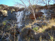
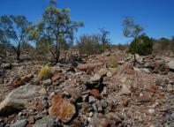
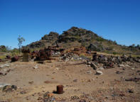
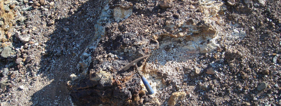
The Narlarla area has a history of small scale mining from karstic features containing high grade base metals/silver bearing sulphides and their oxidised
equivalents. Total production from the Number 2 Pit between 1948-1966 was approximately 11,033 tonnes of ores and concentrates grading approximately
19.2% lead, 26% zinc and 105 g/t silver.
•
Subsequent drilling defined an extensional resource (not JORC 2012) at a 0.5% zinc cut-off of 53,597 tonnes grading 4.5% lead, 4.9% zinc and 18.2 g/t
silver.
•
Resource mineralisation still open laterally, with further drilling expected to increase size and confidence levels.
•
Multiple rock chip and drilling results which returned anomalous zinc and or lead results (>0.5%) remain to be followed.
•
The Narlarla area has identified potential to host significant MVT mineralisation within the prospective carbonate sequences and has not been subject to
modern exploration.

Current Status
• A Native Title, Heritage Protection and Mineral Exploration Agreement (MEA) has been executed between the Kimberley Land Council, traditional owners, Wanjina Wunggurr Wilinggin and MGL • A geophysical modelling technique from the oil and gas exploration sector, is being applied to help provide three dimensional definition of stratigraphy and structure to help guide future exploration for concealed MVT mineralisation. Early results are highly encouraging.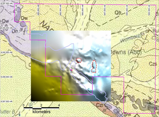
E04/2438 plan showing available Bouguer 250 gravity data overlaying 1:250K geology. Two
gravity features of interest are highlighted by the dashed red outline. Projection: GDA94 Zone 51